Moab to Vail


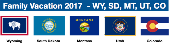
Summer Vacation 2017, “Out West!”

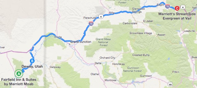
Day 12: Moab, UT and the drive along the Colorado River, on Utah Hw 128, and then I-70 into Vail, CO
-
1)Get up early for breakfast, walk across the foot bridge over the Colorado River
-
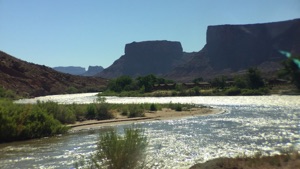
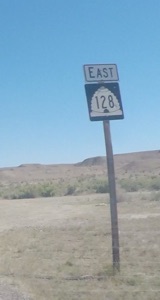
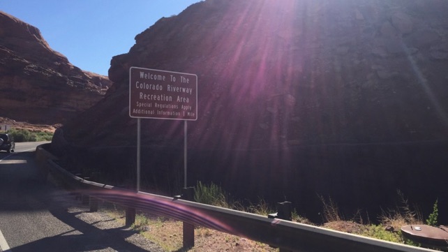
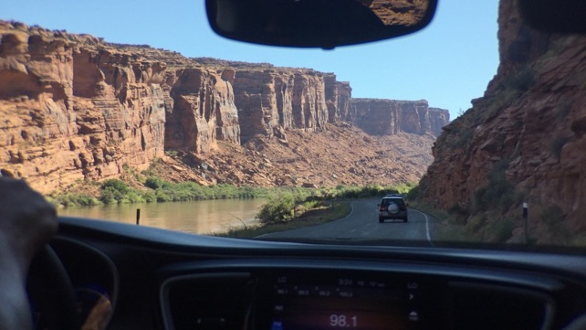
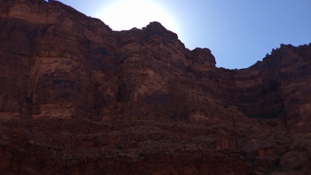
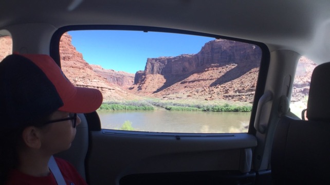
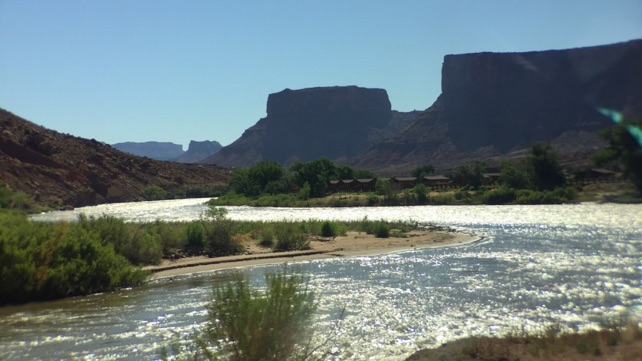
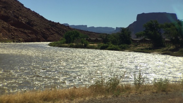
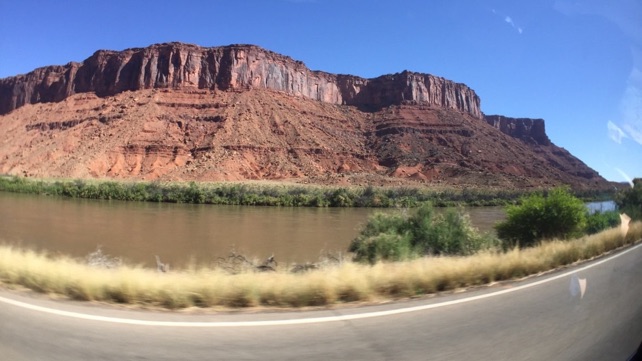
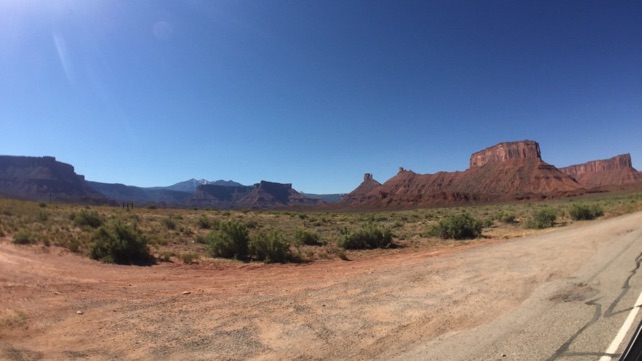
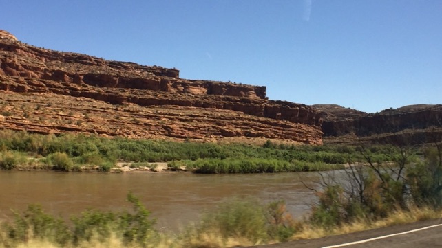
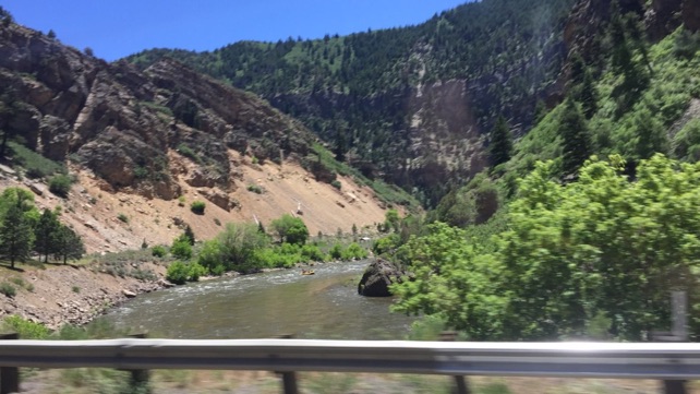
2)Drive along Utah’ s Highway 128, which follows the twists and turns of the Colorado River, 10-50 feet above the river, and far below the top of the canyon it formed, from Moab to Dewey, UT; then I-70 into Vail, CO
-
3)Pool time with friends who met up with us Vail
-
4)Fondue dinner at The Swiss Chalet in Vail - great food!

Photos:
Our drive:
When we planned this drive, we looked at the map and
figured we would get back to I-70 by just returning up
Utah Highway 191.
When we were in Park City, we met a couple who shared
that, 1) Moab and Arches were hot, and 2) there is a road
right in Moab that follows the Colorado River and that it
offered a couple places for awesome sunsets. While food
and other factors prevented us watching the sunset there,
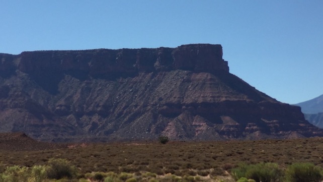
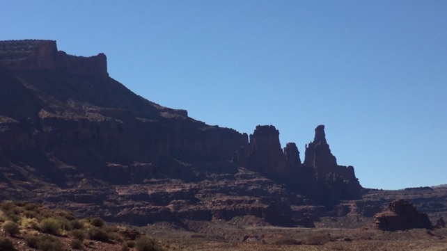
we quickly confirmed that this road, Utah Highway 128 takes
a few more minutes to drive, but is well worth it, as you follow
the Colorado River, hardly losing sight of it.
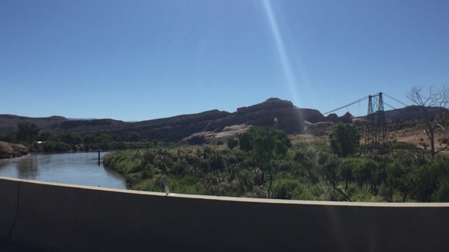
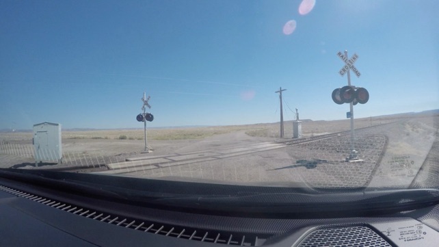
Highway 128 now has a full bridge, but motor traffic once crossed the Colorado on the Dewey Bridge, which was a suspension bridge. Sadly, an accidental fire burned most of it down and they are still working to raise the money to rebuild it.


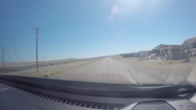
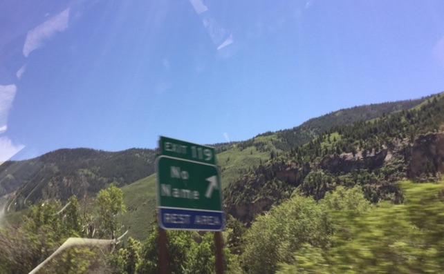
Highway 128 passes Cisco, CO. We figured it would be a town. Sentence tense is important here... Cisco, CO was a town.
“Cisco is a ghost town along the main line of the Denver and Rio Grande Western Railroad, founded as a water re-filling station for steam locomotives.[14] The last 3 miles (4.8 km) of the road parallel the railroad and is an old routing of US-6/US-50, in use before the construction of I-70.[1]”
source: https://en.wikipedia.org/wiki/Utah_State_Route_128
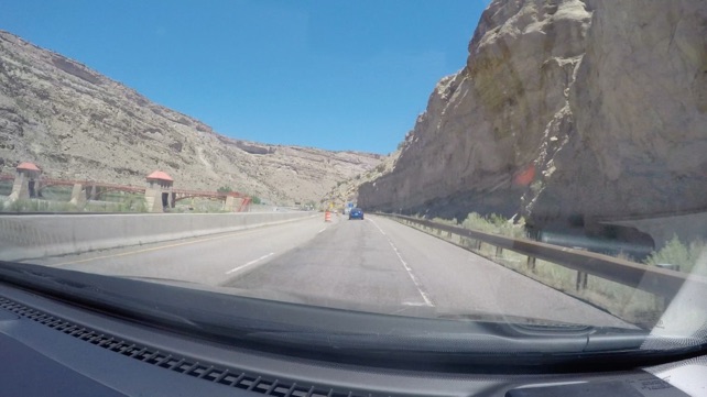
Back to I-70 East...
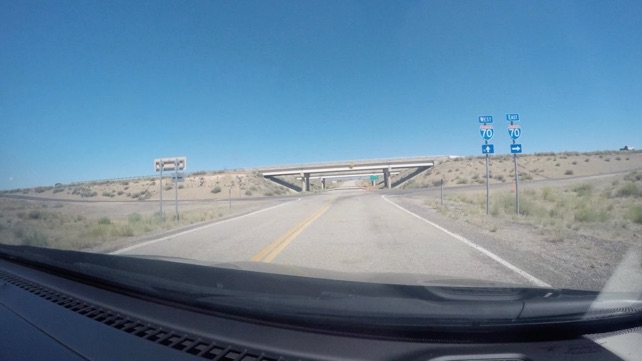
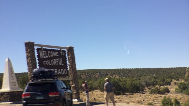
And into Colorado

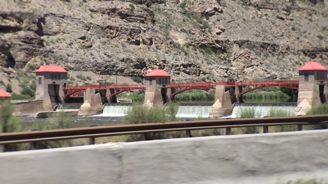
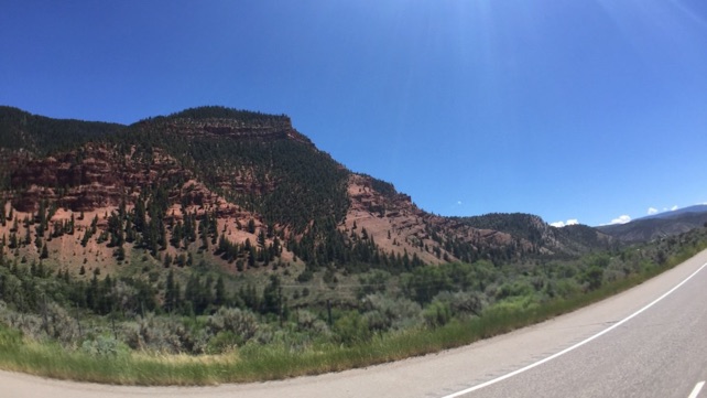
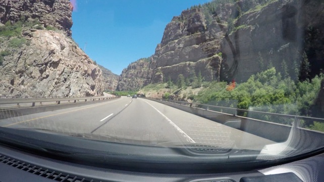
I-70 follows the Colorado River for a good part of southwestern Colorado.

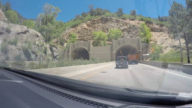
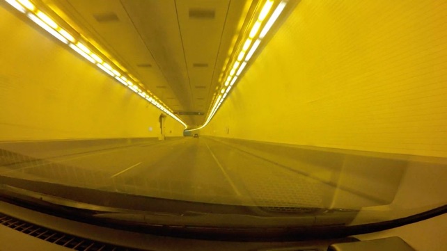
I-70 goes through five tunnels in southwestern Colorado. These are two of them.

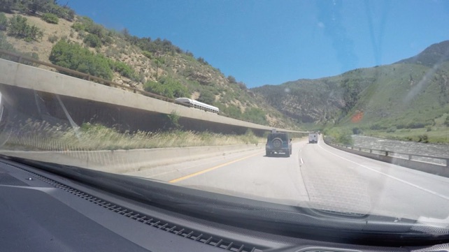

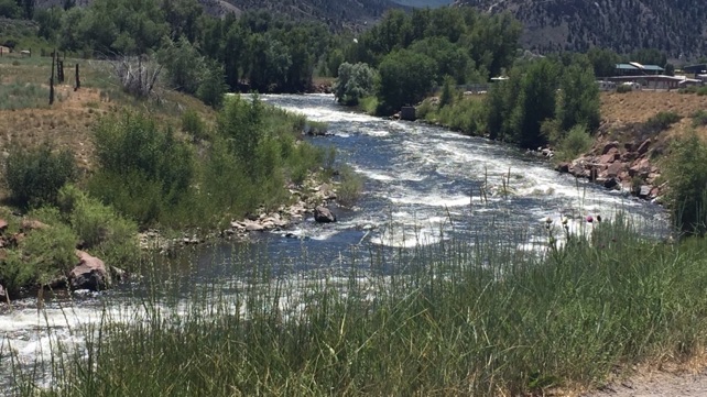
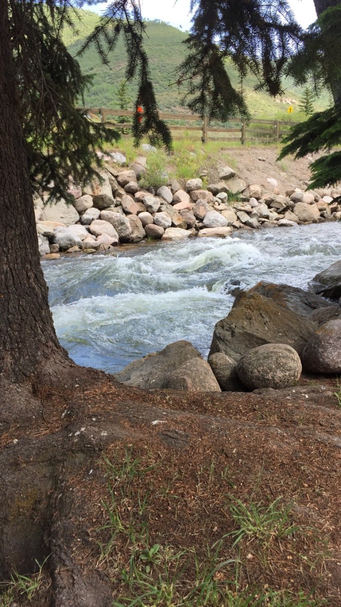
This is the Eagle River, which I-70 follows into Vail.

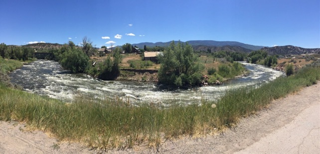
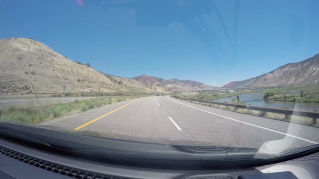
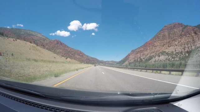
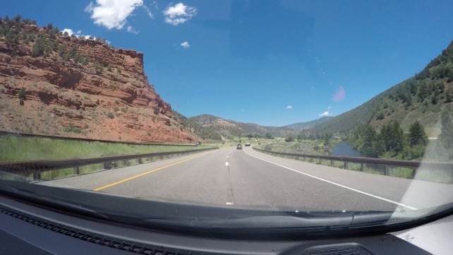
More southwestern Colorado countryside.


Arrival... Marriott Streamside at Vail


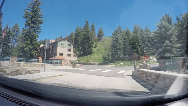
The physical layout is:
-
-I-70, Gore Creek (which flows to Eagle River to the Colorado)
-
-a few feet of grass
-
-parking lot
-
-building
-
-hill... make that a mountain
-
-Beautiful!
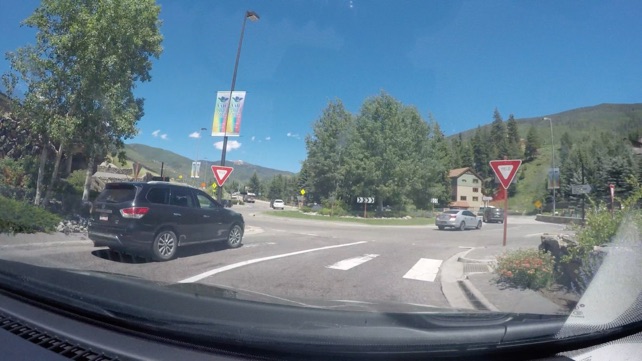
And the tight valleys mean they have roundabouts at intersections - nice.

Note: we captured all other photos using ProCamera, by Cocologics.
See also http://vanvooren.us/Photography for more photography links

Links to the rest of this travel journal:


Moab to Vail
Day 12 - Monday. June 26, 2017