Flight HNL to LIH


Summer Vacation 2018 - Hawaii
(created Sun. July 29, 2018; updated Sun. Aug. 19, 2018)

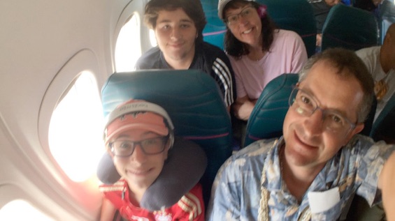
Photos of Airplanes
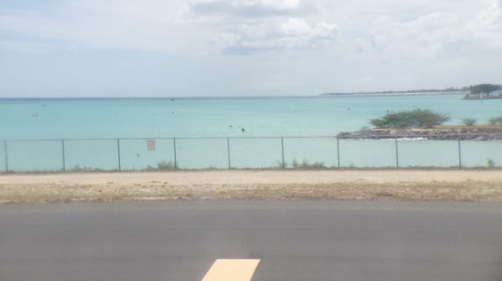
Photos from Airplanes
Photos of islands from Airplanes

We have captured “heading home” photos for several years - one final family photo, usually captured on the balcony, taken just before we check out and get into the car to drive off. This is that photo from Oahu.
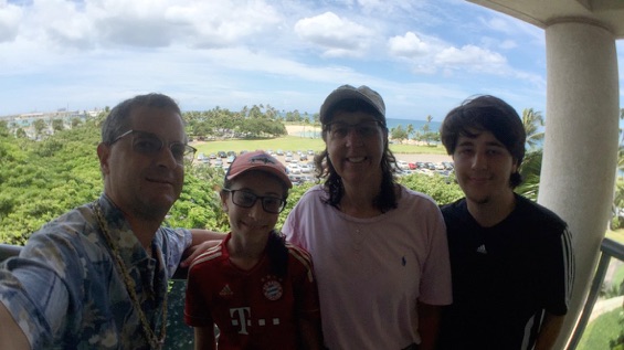
Our hotel, in Ko’ Olina, is on the southwestern corner of Oahu. I had hoped we were going to make our way up to the northwestern corner, but we didn’t get the chance, so it’s on the list of things to visit on our next trip.
But on the way to the airport, we drive a few minutes in that direction, primarily to see these two radio towers.
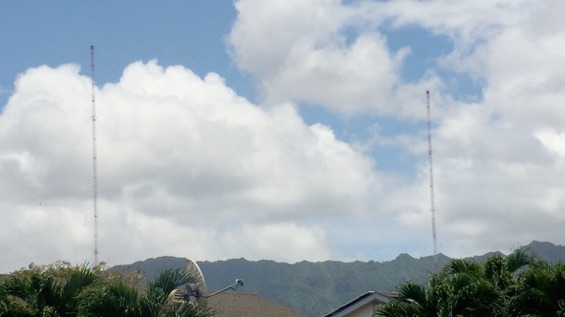
Hawaii Revealed shared that these are one of only five pairs of radio towers through which the Navy communicates with our nation’s submarines.
“... and you’ll see NRTF Lualualei (the Naval Radio Transmitter Facility). ... The two largest masts in this field are each 1,503 feet high, making them slightly taller than the twin Petronas Towers in Malaysia. The facility is one of five on the planet that communicates with submerged nuclear submarines using Very Low Frequency transmissions (3-30kHz). These radio waves can pass through solid rock and deep seas to send urgent messages to subs thousands of feet below the surface.”
source: Hawaii Revealed, Oahu app / book / edition, “Naval Radio Transmitter Facility” article.
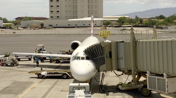
We then drove to the airport. Unlike most of the other Hawaiian airports, the Honolulu Airport (HNL) is not fully open air... we enjoyed A/C after we got through the long TSA line.
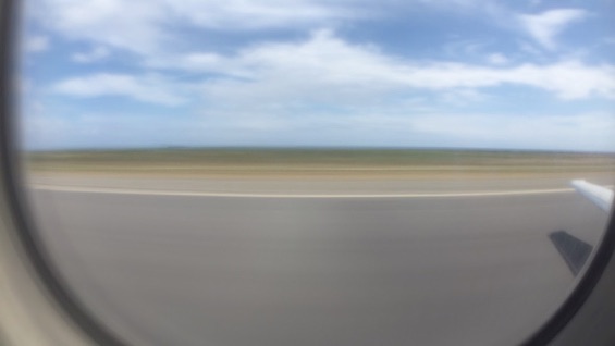
We flew another 717, from HNL to LIH. This one departed the furthest runway, the one located right out in the ocean.

This image is a four-second time-lapsed image created during our take-off using the Slow Shutter Cam app (as noted on SmartPhone Cameras).
We made a quick u-turn to the northwest and proceeded on the longest distance between any of the eight main islands, ~ 63 miles northeast to Kauai.
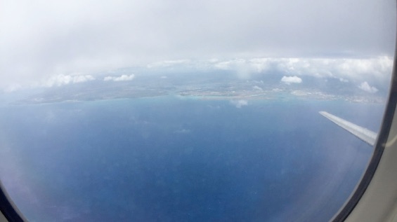
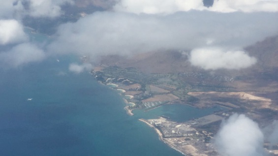
On the way we saw our hotel below us... it’s the building rising above the second curved lagoon... second up from the bottom:
We knew from our planning that our hotel on Kauai was right by the airport, and we confirmed when we were there that you can walk right up to the airport fence and see the airplanes right on the runways... nice!
So, on our flight, as we came in for the landing, I looked across the aisle and looked out the far windows and I saw our hotel...
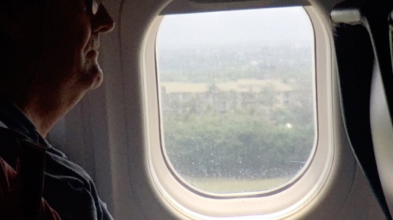
I’m not completely sure that this was the building at the resort where we stayed, or the building next door, but it is definitely one of the buildings at the Marriott Kauai Lagoons Kalanipu’u.
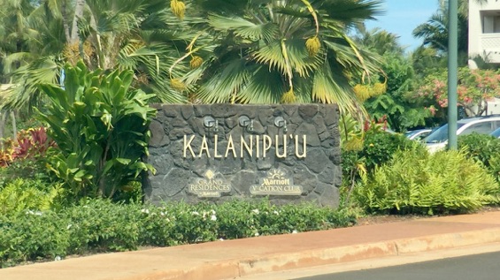
Kalanipu’u means “the chief’s lookout” or similar, as they would climb the nearby hill as lookout for invaders (presumably from the other islands) and from there could use conch shells to warn the people living below.
And we saw chickens roaming the rental car parking lot at the Lihue airport.
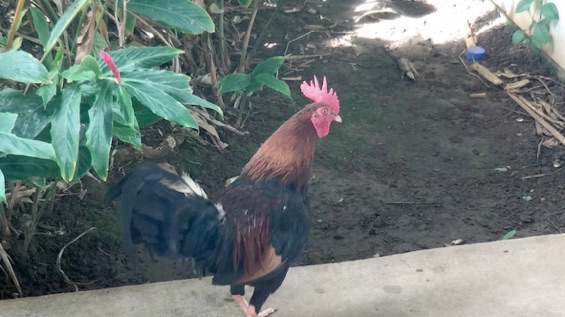
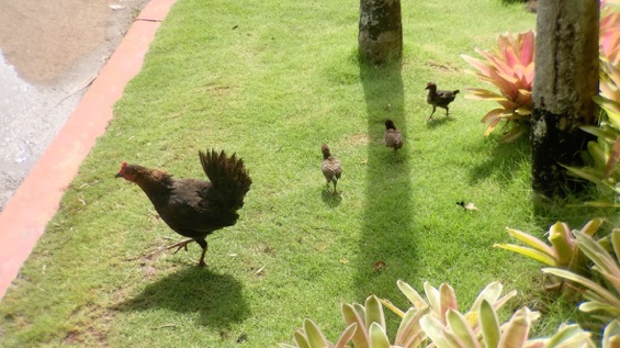
And we saw chickens roaming the hotel.
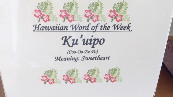
And we learned from this sign in the lobby what is likely the best word we’ve learned in Hawaiian... Ku’uipo... sweetheart, pronounced coo-oo-ee-po.


Links to the rest of this travel journal:
-
17)Oahu - Dole Plantation Maze and Polynesian Cultural Center
-
26)SLUH in HI
-
28)Postcards
-
29)Reviews
-
30)Hawaii 2000